Reply With Quote
If it came directly from the east/southeast like near Port Lavaca and was heading west/northwest as a cat 4-5 at a solid clip there is a solid chance San Antonio could get a direct eye hit from a cat 2 or 3. But that is not the case with Beryl.

It's not even a cat 1 yet which I expected. I see no signs of reintensification into a major hurricane.
If it came directly from the east/southeast like near Port Lavaca and was heading west/northwest as a cat 4-5 at a solid clip there is a solid chance San Antonio could get a direct eye hit from a cat 2 or 3. But that is not the case with Beryl.

If it hits the east side of the cone and the eye goes to Houston it'll be travelling over some very hot gulf water that wasn't cooled down by Alberto.

Come on Beryl slide to the west
Last edited by GAustex; 07-06-2024 at 08:39 PM.
Nooooooooooo
Already had some goddamn rain today almost lost power, don't need any more! Don't need the stupid lawn growing fast again.
It's a small storm, still a 60 MPH TS, hasn't strengthened AT ALL, and the cone continues to nudge east. All good news.

How is that good news? No rain and no cooling for us.

Speak for yoself brutha. Here on the NW side we got a ton of thunder, but not one gattdayum drop of rain. Not a single drop.
Come on Beryl slide to the west
Give it up, Austin is already like 60 miles outside of the edge of the cone. Though you'll still get way more rain than San Antonio.
Positive thinking
No to negative energy
I'm positive Houston stole all our rain
LOL our big cooldown from Beryl is it gets to 96 tomorrow. Though they predicted 96 yesterday and instead it got to 101.
No flooding, no power outages
Meh I had my ing power go out this morning when the weather was fine.
It flickered for me last night when the rain came and there was some thunder and lightning. I don't recall it ever going out in summer in my lifetime here when there's no lightning or inclement weather
but yeah, Beryl is a bust. Still 65 MPH tropical storm
also the invest 96L behind it which was supposed to develop just died a couple days back. Seems like this hurricane season won't be what it was made out to be.
I don't remember 96L ever being forecast to have more than a 10% chance of development.
Houston gonna get flooded
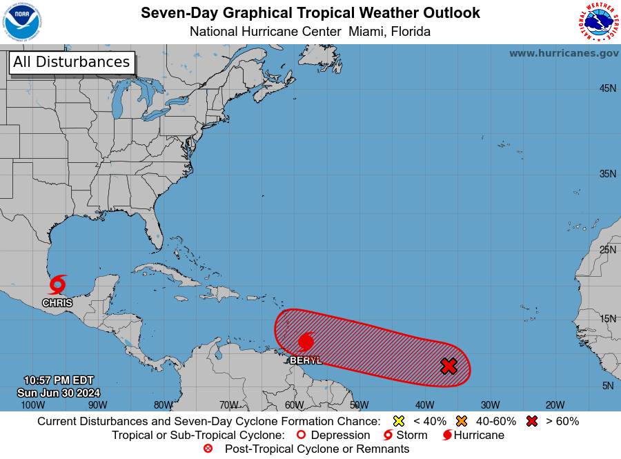
https://www.nhc.noaa.gov/archive/xgt...e=202407010257
ZCZC MIATWOAT ALL
TTAA00 KNHC DDHHMM
Tropical Weather Outlook
NWS National Hurricane Center Miami FL
800 PM EDT Sun Jun 30 2024
For the North Atlantic...Caribbean Sea and the Gulf of Mexico:
Active Systems:
The National Hurricane Center is issuing advisories on Hurricane
Beryl, located a couple hundred miles east of the Windward Islands
and on newly formed Tropical Depression Three, located over the
southwestern Gulf of Mexico.
1. Eastern Tropical Atlantic (AL96):
Showers and thunderstorms continue in association with an area of
low pressure located several hundred miles southwest of the Cabo
Verde Islands. Environmental conditions appear conducive for
additional development of this system, and a tropical depression is
likely to form by the middle part of this week while it moves
generally westward at 15 to 20 mph across the eastern and central
tropical Atlantic. Interests in the Lesser Antilles should monitor
the progress of this system.
* Formation chance through 48 hours...medium...40 percent.
* Formation chance through 7 days...high...70 percent.
Public Advisories on Tropical Depression Three are issued under WMO
header WTNT33 KNHC and under AWIPS header MIATCPAT3.
Forecast/Advisories on Tropical Depression Three are issued under
WMO header WTNT23 KNHC and under AWIPS header MIATCMAT3.
Forecaster Pasch
Nah. Not even Harvey level event.
Well
Guess I was only watching Beryl and didn't notice the invest until it was only 10%

Maybe not that severe but it will be a decent flood

We need a long drenching rain in the hill country. I don't care if San Antonio gets a lot or not, but further west and northwest needs it.
There are currently 1 users browsing this thread. (0 members and 1 guests)
 Posting Permissions