

 Reply With Quote
Tenaya Lake


Tenaya Lake

Tenaya Lake
Tenaya Lake, looking south now from the north end

Tenaya Lake

Polly Dome. It's about 1100 feet up from the road, and the angle of inclination can't be any less than 70 degrees at any part of it.

This was kind of a funny sign

I'm not sure which peak this is.

Tuolomne Meadows

Cathedral Peak, from Tuolomne Meadows

Tuolomne Meadows

Cool rock in Tuolmne Meadows

A nice little creek in Tuolomne Meadows

Mount Dana from Tuolomne Meadows. The face you're looking at is the easiest climb, which is about 20 degrees inclination the whole way with no switchbacks (you just go up) from 10000 to 13500 or so in elevation. Nothing I was going to try without al ude acclimation though (my hotel was at 2100 feet). It'll definitely be a peak to climb when I can camp up in the high country though.
EDIT: I take it back. The easiest route is on the other side. This side looks like it'd be it, but I recall pretty clearly that it isn't.

Last edited by baseline bum; 08-30-2009 at 03:34 PM.
Tuolomne Meadows. It's amazing to me seeing all these big rocks down here carried by the yearly avalanches. This road is closed 7 months of the year on average I believe, and I'm pretty sure I read this is the highest mountain pass for cars in the nation (Alaska included).

Last edited by baseline bum; 08-30-2009 at 03:37 PM.
I wanna say this is Mount Gibbs.

Mount Dana

Formation on a ridge to Dana.

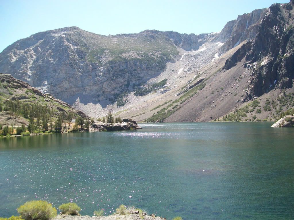
Tioga Lake. This is close to where one begins for the easiest (hiking) ascent up Mount Dana:
This is the end of the park.
A lake in Glacier Canyon.

The same lake. Tioga Peak rises up sharply from the road to the left

Ellery Lake. The picture doesn't do justice to how beautiful this particular place is.

Ellery Lake and the small glaciers up the ridge

Another great pic of Ellery Lake

Yet another of Ellery Lake

Ellery Lake
There are currently 1 users browsing this thread. (0 members and 1 guests)
 Posting Permissions


