But La Niña isn't to blame for the recent severe weather affecting the Northeast. Winter weather for these regions is often driven not by La Niña but by large-scale weather patterns over the U.S., the northern Atlantic Ocean and the Arctic. These are often short-term, and are generally predictable only a week or so in advance.
They are the culprits responsible for the dip in temperatures and e in snow storms in the Midwest and Northeast.
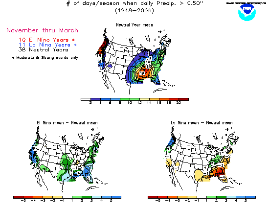
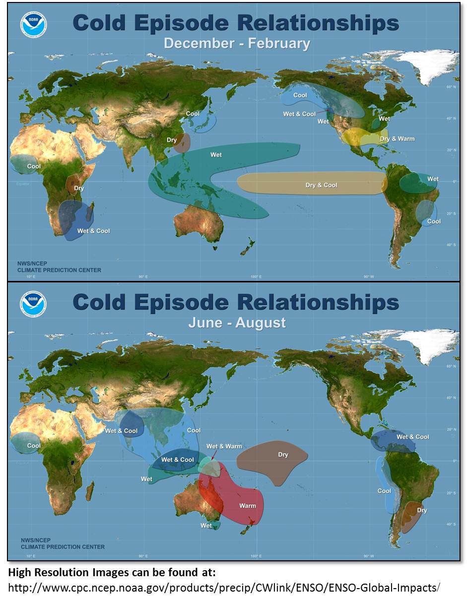
In addition to extreme rainfall, La Niña can lead to drought conditions. Currently in East Africa, it has caused drier-than-usual weather, sparking food-security concerns in areas lacking irrigation, including parts of Somalia, Kenya, Ethiopia and Tanzania. Parts of South America, Asia and the southern U.S. may also see lower rainfall for the first quarter of 2011.
Since 1950, the world has experienced six major La Niña events, wreaking havoc in countries around the world. In 2000, for example, floods associated with La Niña affected 400,000 people in southern Africa, caused at least 96 deaths and left 32,000 homeless.
La Niña conditions typically persist for 9 to 12 months, peaking sometime during the end of the year.
But 2010 was a lively year for climate scientists: For the first four months of this year, El Niño conditions prevailed in the tropical Pacific, but that quickly changed, and by June, a La Niña pattern had emerged.
"Last year's transition from El Niño to La Niña was about the most sudden we've ever had," Barnston said. "When we had rapid flips like this in the past, we sometimes ended up having a two-year La Niña, such as right after the El Niño episodes of 1972 to 1973 and 1997 to 1998."
Barnston cautions that the likelihood of this happening with the current La Niña is unknown. "Even if we do have a second year of La Niña developing in northern summer 2011, we expect at least a brief return to neutral conditions from May to July of 2011."


 Reply With Quote